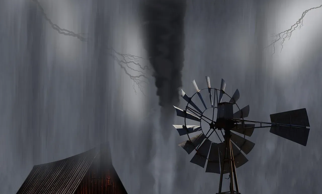
The Midnight Storm Threat: The Troubling New Weather Pattern Forecasters Are Tracking
Something is changing about when storms strike. It’s not just the intensity of severe weather that has meteorologists concerned – it’s the timing. Across the United States and beyond, researchers and forecasters have been tracking a deeply unsettling shift: dangerous thunderstorms, tornadoes, and violent convective systems are increasingly erupting in the dead of night, when communities are asleep and emergency response is at its most vulnerable. This is not an isolated quirk of a single bad season. The data points to a troubling pattern that has been building for decades and appears to be accelerating.
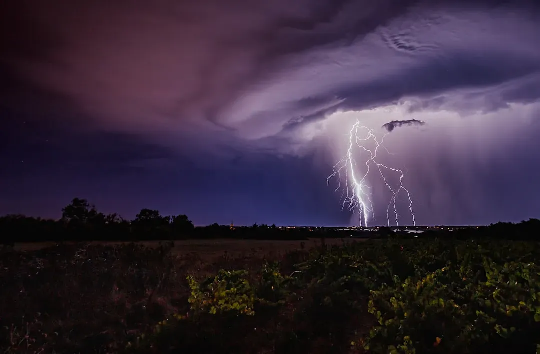
Nocturnal Tornadoes: A Deadlier Kind of Storm
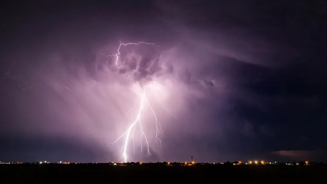
Some of the most deadly severe storm hazards occur at night – when tornadoes are difficult to observe and people may not be awake to receive and respond to warnings. Nocturnal, or nighttime tornadoes – which occur after local sunset and before local sunrise – are nearly twice as deadly as tornadoes that occur during the day. That figure alone should give anyone pause. The problem is not just physics; it’s human vulnerability at its most unguarded moment.
Since 1880, nighttime tornadoes have taken the lives of more than 6,700 people in the U.S. The proportion of fatalities associated with nocturnal tornadoes has been steadily increasing. Over the last 140 years, the proportion of all U.S. tornado fatalities that occur during daytime hours has decreased by roughly a fifth, whereas the percentage of nighttime tornado fatalities has increased by the same margin. Of those overnight fatalities, those occurring during the deepest hours of darkness – from local midnight to sunrise – increased fourfold. These are not abstract statistics. They represent a structural shift in when deadly weather arrives.
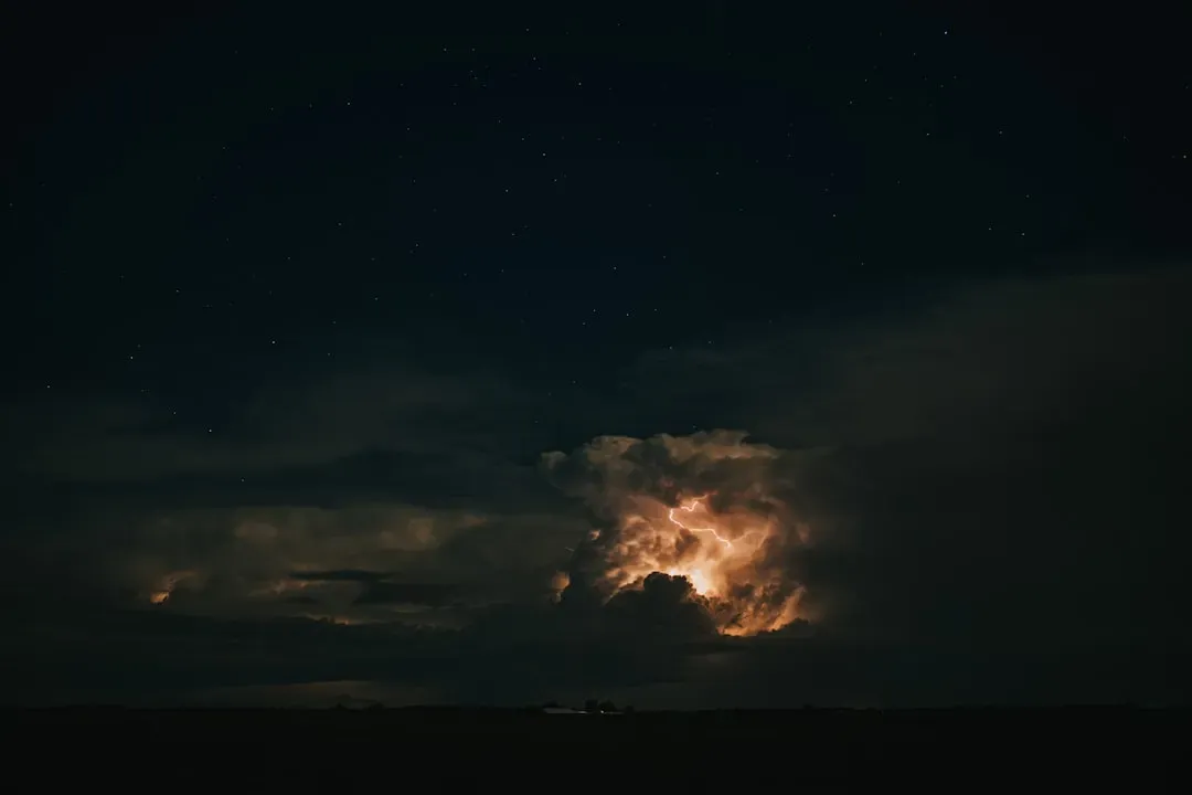
The Science Behind Storms That Strike After Midnight
Once the sun goes down, the Earth and its lower atmosphere usually lose heat and become more stable, an environment not so favorable for supporting thunderstorms. So why are these storms happening anyway? The answer lies in a combination of atmospheric mechanics that researchers are still working to fully decode. In the Great Plains, many summer storms form after sunset, and sometimes without an obvious trigger. Scientists are particularly interested in large complexes of thunderstorms called Mesoscale Convective Systems that can grow overnight, last for hours, and often produce severe and hazardous weather.
Lower atmospheric instability at night is compensated by higher wind shear. Nocturnal thunderstorms are most frequent during convergence lines, and their highest intensity may occur especially during waving and warm front conditions. Forecasting nocturnal thunderstorms, due in part to their development from higher atmospheric layers compared to daytime thunderstorms, is a significant challenge. That forecasting difficulty directly translates into shorter, less reliable warning windows for the public.
A Shifting Storm Belt and an Expanding Risk Zone
According to National Geographic, “The growing threat of nocturnal tornadoes isn’t random. It’s the result of shifting storm seasons, regional vulnerabilities, and a changing climate.” Critically, traditional ideas about where violent weather strikes are becoming outdated. Tornado Alley has seen fewer tornadoes in recent years, with tornadoes striking further east, often in more heavily populated areas. This eastward drift puts millions of people in the path of storms that arrive in darkness, in regions with less storm-hardened infrastructure.
From 1950 to 2019, over one-third of all tornado events occurred at night in states across the Midwest, South, and Southeast. In Missouri, Mississippi, Kentucky, and Arkansas, this ratio surpassed 40%, and in Tennessee, nocturnal tornadoes accounted for over 45% of all tornado events. Real-world events in 2025 illustrated these dangers vividly. A devastating nighttime tornado hit London, Kentucky, just before midnight from a cyclic thunderstorm, causing catastrophic damage. A specific long-track thunderstorm produced multiple tornadoes as it tracked west to east across southern Kentucky.
Warmer Oceans, Wilder Nights: The Climate Connection
Conditions are now primed for severe thunderstorms about two weeks more often in the spring than they were in 1979, in portions of more than a dozen states from the South to the Midwest, according to research from Climate Central. The ocean is a major driver of this expansion. According to Shel Winkley, a meteorologist with the non-profit research group Climate Central, “Warmer oceans mean more evaporation, and we know that the atmosphere is holding on to more moisture.” Extra moisture coming from the warm Gulf adds the extra energy boost that fuels stronger storms.
During the summer of 2025, the polar jet stream shifted unusually far south and steered larger storm systems into the midlatitudes of the U.S. Instead of moving storms quickly eastward, the sluggish jet stream stalled storm systems in place, causing prolonged downpours and flash flooding. A weak jet stream tends to meander more dramatically, and its broad north-south swings in summer 2025 funneled humid air from the Gulf of Mexico deep into the interior, supplying storm systems with abundant moisture and intensifying rainfall. These conditions are precisely the recipe for severe storms that develop and persist long into the night.
The Warning Window Problem: Racing Against the Clock in Darkness
One critical danger of nighttime tornadoes is visibility. While no one should rely on seeing a tornado to take shelter, the veil of darkness makes it harder for storm spotters to locate a tornado with their eyes. This means meteorologists heavily rely on radar data during nighttime tornado warnings. In terms of communication, the lack of sight of a nighttime tornado can make it hard to convey the gravity of a situation to the public. People are more likely to react and take shelter if a photo of a tornado is shared within a tornado-warned storm. At midnight, that visual communication tool essentially disappears.
Tornadoes in the Southeastern U.S. are more likely to strike overnight, when people are asleep and cannot quickly protect themselves, which makes these events dramatically more dangerous. The time between a tornado warning being issued and the event occurring is only about 10 to 15 minutes on average. Large nighttime thunderstorms are an essential source of summer rain for crops, but also produce widespread and potentially hazardous severe weather, excessive rainfall, flash flooding, and unusually frequent cloud-to-ground lightning. Weather forecast models often struggle to accurately account for these. Ten to fifteen minutes is a dangerously thin margin when most people are sound asleep.
Forecasters Push Toward Longer-Range, Smarter Storm Predictions
In its Sixth Assessment Report, the Intergovernmental Panel on Climate Change (IPCC) states that climate models consistently project environmental changes that would likely lead to an increase in the frequency and intensity of severe thunderstorms. Forecasting agencies are responding with new tools. NOAA’s National Severe Storms Laboratory is testing its Severe Weather Extended-Range forecasting and Verification Experiment (SWERVE), which is testing the ability to forecast severe weather up to three weeks in advance. Meanwhile, NOAA’s Climate Prediction Center’s Global Tropical Hazards Outlook, which provides advance notice of potential tropical cyclone risks, has been extended from two weeks to three weeks, to provide additional time for preparation and response.
A recent study found that amplified planetary waves in the jet streams, which can cause weather systems to stay in place for days or weeks, are occurring three times more frequently than in the 1950s. As the global climate continues to warm, extreme weather events driven by erratic behavior of jet streams are expected to become more common. Combined with additional moisture that warmer oceans and air masses supply, these events will intensify, producing storms that are more frequent and more destructive. Research suggests that the potential for nocturnal tornadoes may rise with future climate warming in response to projected increases in convective available potential energy (CAPE), as well as a likely strengthening and extension of the Great Plains low level jet. Forecasters are not just watching the skies – they are watching a pattern that may define the weather threat of the coming decades.