The “Midnight Storm” Threat: The Disturbing New Weather Pattern Experts Are Monitoring
Something unsettling is happening in the skies after dark. Meteorologists, climate scientists, and emergency managers are increasingly alarmed by a pattern that doesn’t follow the old rulebook: violent, large-scale storm systems that organize and peak in intensity not during the afternoon heating hours, but well after midnight. Dubbed informally as “midnight storms,” these nocturnal weather events are tied to complex atmospheric dynamics, a warming planet, and a jet stream that is behaving in ways researchers are still working hard to fully understand. The evidence, drawn from observational data, climate modeling, and recent real-world events stretching from 2024 into 2026, is pointing in one clear and troubling direction.
What Exactly Is a “Midnight Storm” and Why Does It Matter?
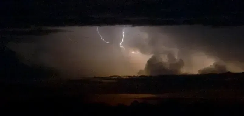
Mesoscale convective complexes – a specific type of large storm cluster – are long-lived and nocturnal in formation, as they tend to form overnight and commonly contain heavy rainfall, wind, hail, lightning and possibly tornadoes. These are not your typical afternoon thunderstorms that fade with the sunset. A Mesoscale Convective System, or MCS, is a collection of thunderstorms that act as a system, and a single MCS can spread across an entire state and last more than 12 hours, appearing on radar as a solid line, a broken line, or a cluster of cells.
MCSs generate hazardous weather including extreme rainfall, flooding, derechos and, sometimes, tornadoes and hail – all of which have substantial economic and societal impacts. What makes these nighttime systems particularly threatening is the timing. Most people are asleep, warning systems reach fewer alert recipients, and the darkness itself strips away the visual cues that might otherwise signal danger. Nocturnal or nighttime tornadoes – which occur after local sunset and before local sunrise – are nearly twice as deadly as tornadoes that occur during the day.
The Nocturnal Low-Level Jet: The Hidden Engine of Midnight Storms
A nocturnal low-level jet stream brings large thunderstorms across the U.S. Midwest each summer. During the summer, the U.S. Great Plains routinely experiences nighttime thunderstorms unlike anywhere else in the country, and these large-scale storms – sometimes spanning entire states – account for more than 40 percent of annual rainfall in some areas. The mechanics behind this nighttime acceleration are well established. The jet accelerates due to temperature contrasts at night. When the Sun sets, the atmosphere at the ground cools while leftover warm and moist air settles on top of the cool air, creating layers in the atmosphere.
The low-level jet is a fast-moving stream of air – traveling up to 80 miles, or 130 kilometers, per hour – located within 1,600 feet, or 500 meters, of the ground. This ribbon of fast-moving air is the fuel line for midnight storms. Research suggests that the potential for nocturnal tornadoes may rise with future climate warming in response to projected increases in CAPE, as well as a likely strengthening and extension of the Great Plains low-level jet. This fast-moving ribbon of air rapidly transports moisture and warmth from the Gulf of Mexico northward, helping to fuel and sustain nighttime severe storms in the Great Plains, Southeast, Mid-South, and Midwest.
A Rising Death Toll in the Dark: The Human Cost
Since 1880, nighttime tornadoes have taken the lives of more than 6,700 people in the U.S. Over the last 140 years, the proportion of all U.S. tornado fatalities that occur during daytime hours has decreased 20 percent, whereas the percentage of nighttime tornado fatalities has increased 20 percent. Of these fatalities, those that occurred during overnight hours – local midnight to sunrise – increased fourfold. These numbers do not emerge from theory alone; they reflect a real, documented trend that has been building for generations. From 1950 to 2019, over one-third of all tornado events occurred at night in states across the Midwest, South, and Southeast. In Missouri, Mississippi, Kentucky, and Arkansas, this ratio surpassed 40 percent, and in Tennessee, nocturnal tornadoes accounted for over 45 percent of all tornado events.
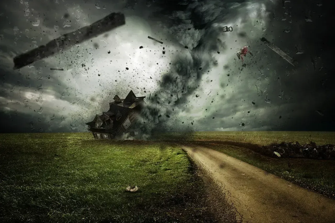
The vulnerability of certain populations amplifies these statistics considerably. The Mid-South and Southeast have large populations living in mobile homes – over 40 percent of all homes in some counties. Mobile homes are significantly more vulnerable to tornadic winds, and as a result, tornado fatalities are at least 10 times more likely in mobile homes than in permanent homes. When a storm hits at 2 a.m. with little warning, these communities face the most catastrophic outcomes. Real cases underscore this: one resident was asleep when a tornado tore through his home in the middle of the night. The EF-2 tornado destroyed the house entirely.
Climate Change Is Making Midnight Storms Bigger and More Frequent
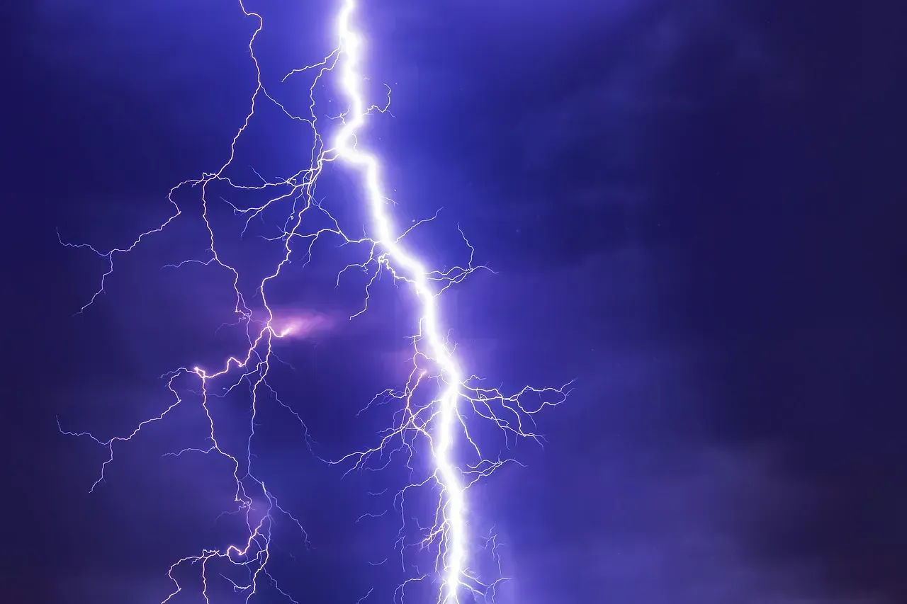
Rising global temperatures due to climate change mean warmer air, which allows it to hold more moisture – roughly 7 percent more moisture per 1°C of warming. This boosts the chance of thunderstorms, leading to more violent storms and more lightning strikes, and the intense downpours lead to localized flash flooding. Published research in the Journal of Geophysical Research: Atmospheres in 2024 found even more specific changes ahead. Under pseudo-global warming, increases in MCS frequency and total warm-season precipitation are observed, most notably in the southern U.S. A more robust future response is observed in the convective core region, with its size, mean precipitation rate and mean maximum precipitation rate increasing significantly by 24 percent, 37 percent and 42 percent, respectively.
Recent research shows that thunderstorm straight-line wind speeds in the central U.S. have intensified 7 percent per degree Fahrenheit of warming during recent decades. With very high levels of future warming, large straight-line wind systems – derechos – are projected to become more frequent, widespread, and intense in the central and eastern U.S. The financial toll is staggering and accelerating. Severe storms cause an average of 200 deaths annually in the U.S. and account for half of all U.S. billion-dollar weather and climate disasters that have impacted the nation since 1980. The frequency of billion-dollar severe storms has increased dramatically in recent decades, with 2023 and 2024 ranking as the top two years on record.
The Jet Stream Factor: A Destabilized Atmospheric Highway
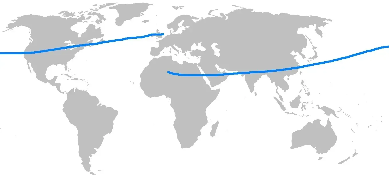
During the summer of 2025, the polar jet stream shifted unusually far south and steered larger storm systems into the midlatitudes of the U.S. At the same time, the jet stream weakened, with two critical consequences. First, instead of moving storms quickly eastward, the sluggish jet stream stalled storm systems in place, causing prolonged downpours and flash flooding. Second, a weak jet stream tends to meander more dramatically – its broad north-south swings funneled humid air from the Gulf of Mexico deep into the interior, supplying storm systems with abundant moisture and intensifying rainfall. The consequences were devastating. The summer of 2025 brought unprecedented flash flooding across the U.S., with the central and eastern regions hit particularly hard. These storms claimed hundreds of lives across Texas, Kentucky, and several other states and caused widespread destruction.
A recent study found that amplified planetary waves in the jet streams, which can cause weather systems to stay in place for days or weeks, are occurring three times more frequently than in the 1950s. As the global climate continues to warm, extreme weather events driven by erratic behavior of jet streams are expected to become more common. The root cause of jet stream instability is well identified by scientists. The Arctic has been warming two times faster than the planetary average, according to NOAA’s Arctic Report Card 2024. As the planet warms, the Arctic is heating up at more than twice the global average rate, and that is reducing the equator-to-pole temperature difference. As that temperature gradient weakens, jet streams lose their strength and become more prone to stalling.
Forecasting the Unforecastable: What Meteorologists Are Doing About It
Mesoscale convective systems are some of the most intense thunderstorms on the planet and are increasing in severity due to climate change. Storm forecasting is traditionally based on studying atmospheric conditions, but ground-breaking research that also looks at land surface conditions is set to transform early warning systems in tropical regions. This will enable communities to better adapt to the destructive impacts of climate change. New research published in Nature Geoscience in 2025 has identified a critical additional factor. A large contrast in soil moisture levels over a range of hundreds of kilometers results in atmospheric changes that increase rainfall area and amount in several megastorm hotspots globally. This increase ranges from 10 to 30 percent depending on the region and size of the storm.
Computer software tools being developed by UK Centre for Ecology & Hydrology are enabling meteorological agencies to generate more reliable short-term forecasting up to six hours ahead of storms and therefore warnings to communities about approaching storms. These include an online nowcasting portal based on satellite-derived data on atmospheric and soil conditions in Africa. In the United States, NOAA’s Storm Prediction Center has also upgraded its warning systems. SPC meteorologist Evan Bentley described a new approach as “a smarter way to be prepared and stay safe,” with the introduction of Conditional Intensity Groups further communicating the specific threat of severe weather. Certain conditions favorable to thunderstorms and tornadoes are occurring more often or expanding into historically less-active seasons and regions, and nighttime tornadoes and large hail remain among the most destructive and deadly severe storm hazards.